")
support@meisterdrucke.com · 0043 4257 29415


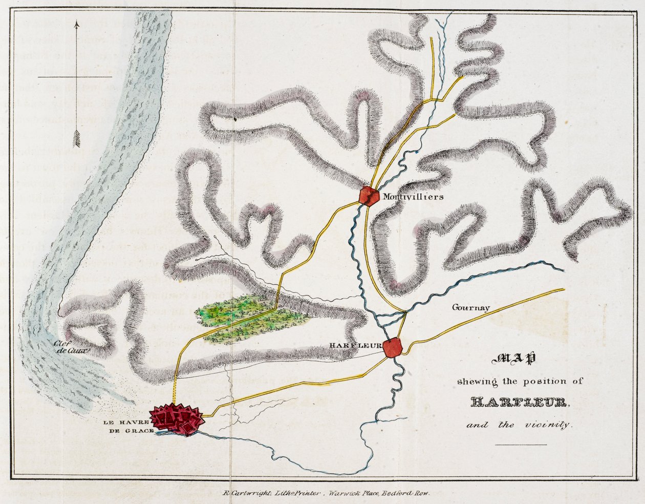
'Mapa mostrando la posición de Harfleur y sus alrededores', ilustración de 'La historia de la batalla de Agincourt y de la expedición de Enrique V a Francia...'('Map shewing the position of Harfleur and the vicinity.', illustration from 'The History of the Battle of Agincourt and of the expedition of Henry the Fifth into France...')Nicholas Harris Nicolas |
|
€ 138.32
Enthält 21% MwSt.
|
|
Sin fecha · pen and ink with watercolour on paper
· Imagen de ID: 1353383
British Library, London, UK / Bridgeman Images |
| 0 Opiniones |


.jpg "Bella principessa")
.jpg "En el gris, 1919")
.jpg "Campos de Lavanda en la Vieja Provenza")
.jpg "El Vesubio en erupción")
.jpg "La Escuela de Atenas, de la Stanza della Segnatura, 1509-10")
.jpg "Monje benedictino con vino en el desayuno")
.jpg "Campesinos leyendo El Machete, Ciudad de México, 1929")
.jpg "El barco de vela, efecto de la tarde, 1885")
.jpg "El mediodía")
.jpg "Vista de Arles con iris en primer plano")
.jpg "Las tres hermanas en la playa, 1908")
.jpg "Árbol rojo")
.jpg "Ángel trae lo Deseado")
.jpg "La lechera")
.jpg "Árbol de morera, 1889")